Communauté • Livre d'or
 Actualités, astuces, interview... Venez lire la gazette de ce printemps de Vikidia !
Catégorie:Image géographie
Aller à la navigation
Aller à la recherche
|
|
Voir aussi les images sur Commons : Category:Geography.
|
Sous-catégories
Cette catégorie comprend 35 sous-catégories, dont les 35 ci-dessous.
*
A
C
D
E
F
I
- Image carte en relief (5 F)
- Image mouvement de la Terre (11 F)
L
P
R
S
- Image satellitaire (46 F)
U
V
Média dans la catégorie « Image géographie »
Les 28 fichiers suivants figurent dans cette catégorie, sur un total de 28.
 138687main image feature 458 northeurope.jpg 800 × 541 ; 79 kio
 466px-Scandinavia.TMO2003050.jpg 466 × 599 ; 75 kio
 545px-Blason Vireux-Molhain.svg.png 545 × 600 ; 90 kio
 Aitutaki sunset 1.jpg 800 × 596 ; 89 kio
 Balkan Fires, Earth from Aqua (EOS PM-1) (2007-07-25).jpg 464 × 599 ; 66 kio
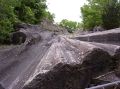
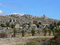 Chaos de Nîmes-le-Vieux.jpg 800 × 600 ; 145 kio
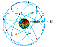 ConstellationGPS.gif 240 × 192 ; 485 kio
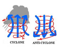 Cyclone-anticyclone.png 259 × 221 ; 63 kio
 DSC00024.JPG 2 016 × 1 512 ; 881 kio
 Flag-map of the world.svg 2 400 × 1 200 ; 6,49 Mio
 Ha long bay.jpg 800 × 600 ; 103 kio
 Icone Geographie.png 120 × 120 ; 17 kio
 Istanbul.jpg 515 × 599 ; 110 kio
 Jordens inre.jpg 576 × 600 ; 37 kio
 Méditerranée Mer Noire sat.jpg 1 280 × 958 ; 154 kio
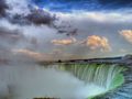 Niagara.jpg 800 × 600 ; 225 kio
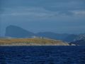 Polar Circle Norway-1.jpg 797 × 600 ; 58 kio
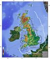 Radar britannique.JPG 1 400 × 1 670 ; 304 kio
 Radhanath Sikdar.jpg 203 × 152 ; 11 kio
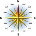 Rose des vents.jpg 583 × 583 ; 144 kio
 Rose des vents2.png 100 × 100 ; 6 kio
 Schleienloecher2-1- C.jpg 800 × 435 ; 67 kio
 Subduction.jpg 1 212 × 878 ; 136 kio
 Tt live 1000.jpg 255 × 166 ; 36 kio
 Une vague scélérate.jpg 630 × 390 ; 62 kio
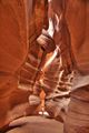 USA 10096-7-8 HDR Antelope Canyon Luca Galuzzi 2007.jpg 399 × 599 ; 61 kio
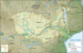 Zambeze.png 1 161 × 742 ; 1,84 Mio
 Érosion glaciaire.jpg 480 × 356 ; 30 kio


_(2007-07-25).jpg)


