Fichier:Map of the Western Cape with Cape Town highlighted (2016).svg
Aller à la navigation
Aller à la recherche


Taille de cet aperçu PNG pour ce fichier SVG : 753 × 600 pixels. Autres résolutions : 302 × 240 pixels | 603 × 480 pixels | 965 × 768 pixels | 1 280 × 1 019 pixels | 2 560 × 2 038 pixels | 849 × 676 pixels.
Fichier d’origine (Fichier SVG, nominalement de 849 × 676 pixels, taille : 478 kio)
.svg)
Description
| Description |
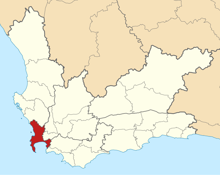
English: Map of municipal boundaries in the Western Cape, as they are after the municipal elections of 3 August 2016, with the City of Cape Town Metropolitan Municipality highlighted in red. Based on File:Map of the Western Cape with municipalities blank (2016).svg. |
| Date | |
| Source | Travail personnel |
| Auteur | Htonl |
.svg)
Conditions d’utilisation
Moi, en tant que détenteur des droits d’auteur sur cette œuvre, je la publie sous les licences suivantes :

|
Vous avez la permission de copier, distribuer et modifier ce document selon les termes de la GNU Free Documentation License version 1.2 ou toute version ultérieure publiée par la Free Software Foundation, sans sections inaltérables, sans texte de première page de couverture et sans texte de dernière page de couverture. Un exemplaire de la licence est inclus dans la section intitulée GNU Free Documentation License. |
This file is licensed under the Creative Commons Attribution-Share Alike 4.0 International, 3.0 Unported, 2.5 Generic, 2.0 Generic and 1.0 Generic license.
- Vous êtes libre :
- de partager – de copier, distribuer et transmettre cette œuvre
- d’adapter – de modifier cette œuvre
- Sous les conditions suivantes :
- paternité – Vous devez donner les informations appropriées concernant l'auteur, fournir un lien vers la licence et indiquer si des modifications ont été faites. Vous pouvez faire cela par tout moyen raisonnable, mais en aucune façon suggérant que l’auteur vous soutient ou approuve l’utilisation que vous en faites.
- partage à l’identique – Si vous modifiez, transformez, ou vous basez sur cette œuvre, vous devez distribuer votre contribution sous la même licence ou une licence compatible avec celle de l’original.
Vous pouvez choisir l’une de ces licences.
Historique du fichier
Cliquer sur une date et heure pour voir le fichier tel qu'il était à ce moment-là.
| Date et heure | Vignette | Dimensions | Utilisateur | Commentaire | |
|---|---|---|---|---|---|
| Actuel | 11 septembre 2016 à 17:44 | | 849 × 676 (478 kio) | wikimediacommons>Htonl | == {{int:filedesc}} == {{Information |Description ={{en|1=Map of municipal boundaries in the w:Western Cape, as they are after the municipal elections of 3 August 2016, with the [[w:City of Cape Town... |
Utilisation du fichier
La page suivante utilise ce fichier :
.svg&oldid=913546)